


Blockchain


Solving Data Tampering Risks with Blockchain Solutions in Los Angeles
Explore how blockchain solutions in Los Angeles protect sensitive data from tampering through decentralized, secure, and transparent systems.
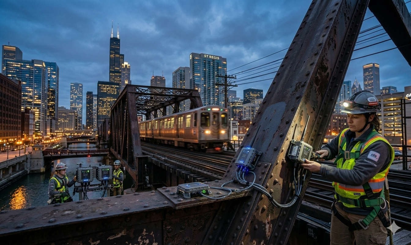
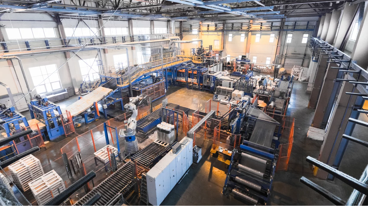
Drone-based geo-video analytics and real-time progress visualization for railway project monitoring.
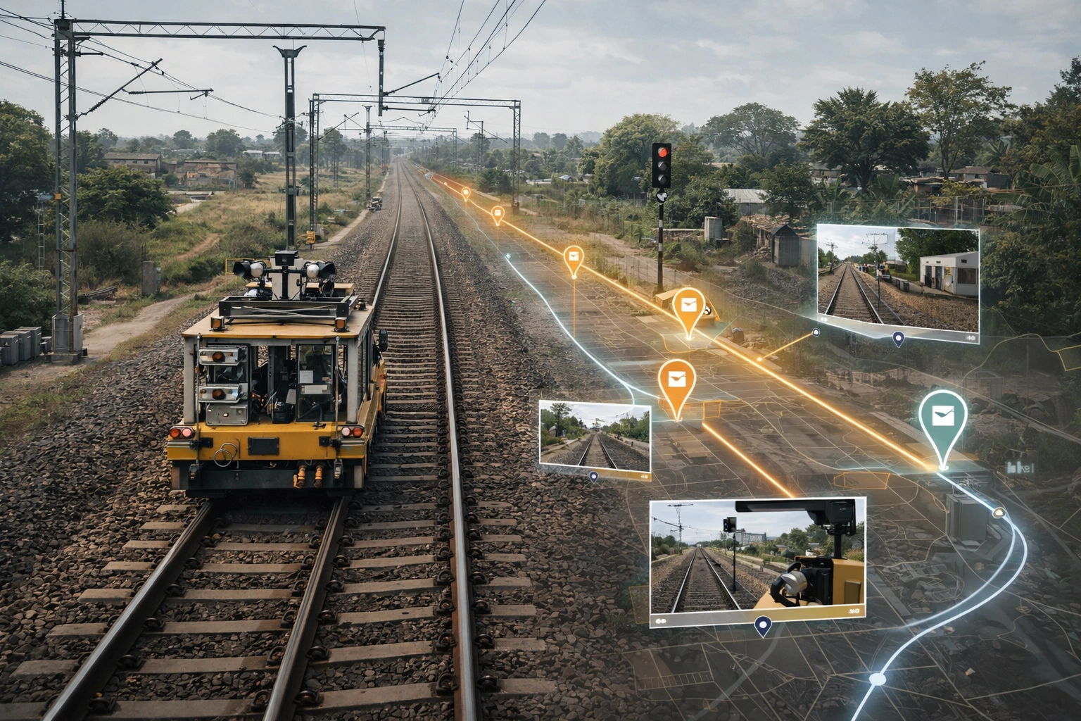
IRGVAP enhances project visibility and accountability for Indian Railways infrastructure initiatives. By integrating drone technology and GIS mapping, platform significantly improved decision-making and reporting accuracy.
Project Tracking & Updates

Faster Reporting Process

Monitoring Across Divisions

Transparency & Auditability
Built to digitize infrastructure supervision ensuring transparency, accuracy, and efficiency.
Every video precisely mapped to physical track location.
Supports aerial video uploads for progress tracking.
Visual comparison of site development over time.
Access control for contractors and authorities.
Secure storage of geo-tagged footage and docs.
Automatic project insights for review meetings.


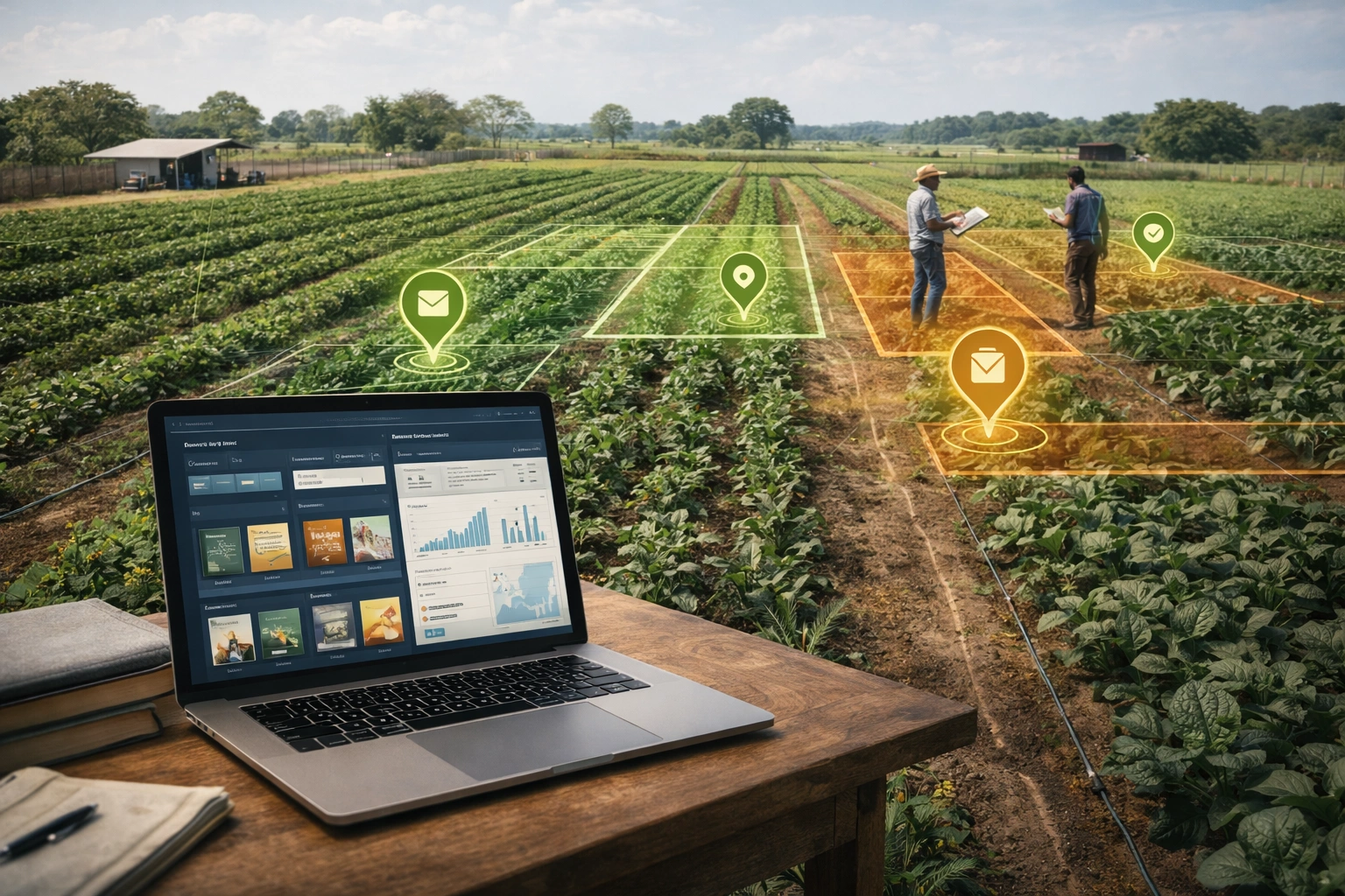
Traditional project supervision in large infrastructure networks faces visibility, efficiency, and communication challenges.
Delays in updates and inconsistencies in ground-level data.
Difficulty correlating on-site visuals with project coordinates.
Multiple contractors without unified digital supervision.
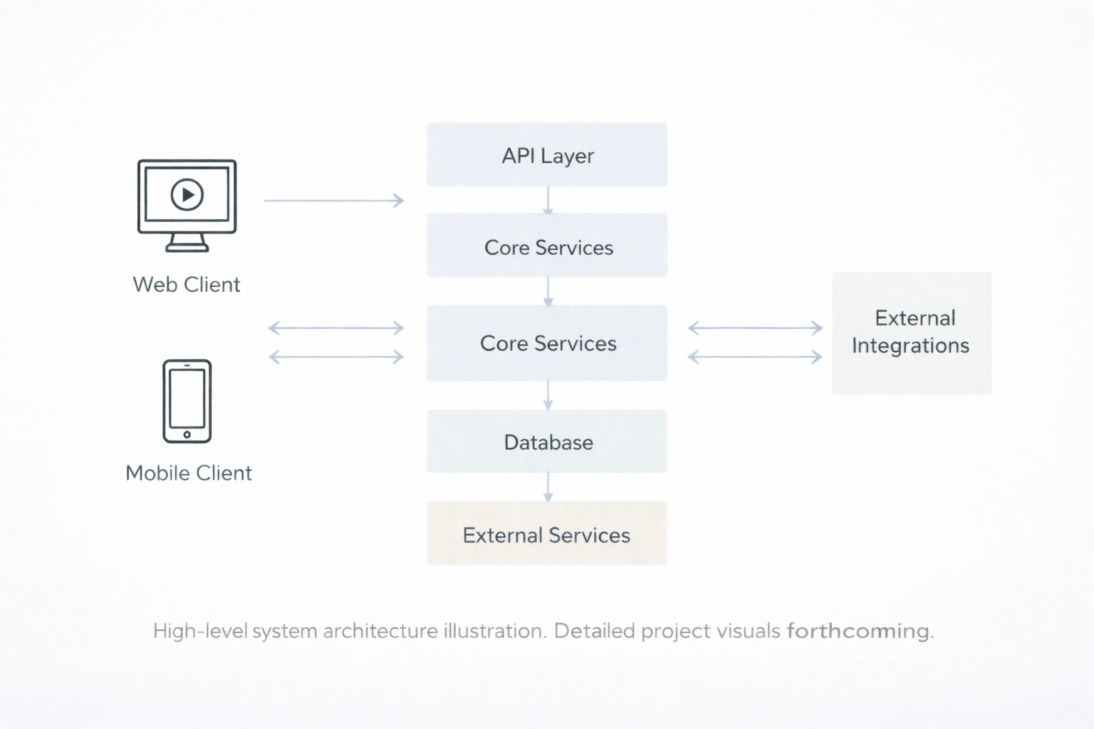
IRGVAP combines GIS mapping, AI video analytics, and cloud architecture for transparent monitoring.

Automatically detects changes and progress patterns in drone footage enabling intelligent insights.

Centralized data hosting for cross-department collaboration and comprehensive reporting.